Jammu and Kashmir · 17 pincodes
Private Jet Charter in Kathua, Jammu and Kashmir
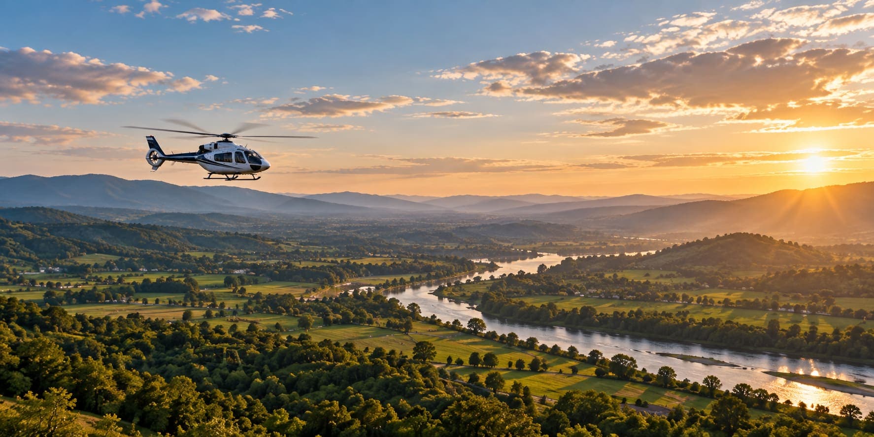
Book a private jet or helicopter charter in Kathua, Jammu and Kashmir. The nearest airport for a private jet is Jammu Airport (IXJ), about 66 km west of the district centre. A helicopter can land at an approved helipad or open ground closer to you. Pick your pincode or area below for its own page.
Get a charter quote from Kathua
Prefer to talk?+91 93556 11996WhatsApp
- Nearest airport
- 66 km
- IXJ · straight line
- Pincodes
- 17
- in Kathua
- Areas
- 144
- each with its own page
- Jet to Delhi
- 1 h 5 min – 1 h 10 min
- from IXJ, estimated
Pincodes and areas in Kathua
Tap a pincode or an area for its own page: nearest airports, distances and a quote.
17 pincodes
18001211 areas
Garh Samna BanjGurah KalyalLAKHRIMeghdoot BhawanNagrota GujrooNew Fruit MarketRailway StationRailway Station (Gandhinagar)SAILNATrikuta Nagar ( Gandhi Nagar)Uchapind
1841013 areas
1841029 areas
DilwanGovindasrIe KathuaIndustrial Estate KathuaJaraiKharoteKrishnanagarMehtabpurParliwand
1841047 areas
ChangranJakhbarJangloteKotheraLogateMini Sectt KathuaRakh Lachhipura
1841417 areas
1841425 areas
1841439 areas
18414414 areas
AmlaChadwalChandwanChann RorianChhapaki KalanDhamalDialachakDinga AmbHamirpurKatliMaghloorMelaPrangoliSeswan
1841452 areas
1841487 areas
1841515 areas
1841528 areas
18420114 areas
BanjalBasoliBhoondDramanFarnotHuttJandrotaMarta NagrotaPlahiPlassyPoondaRehanSananghatSandhar
1842028 areas
BanhoreDhar MahanpurKaranwaraMahanpurMarapattiMooniRaipurSabar
18420311 areas
BarottaBathodi DugganBhadduDharaltaDurangKishanpurIIKohagLahariMandliParnalaPhinter
18420412 areas
BadnotaBagganBillawarDhar DugnooHuttarKishanpurIMachhediMalharMaltiMarhoonSukralaThall
18420612 areas
BandharBaniChalogDaggarDugganDulangalFatehpurGittiKanthalLowangRoulkaSitti
Airports near Kathua
Nearest · west
Jammu Airport
Jammu, Jammu and Kashmir · IXJ / VIJU · runway 6,700 ft
66 km
Option 2 · south-east
Kangra Airport
Kangra, Himachal Pradesh · DHM / VIGG · runway 4,620 ft
80 km
Option 3 · south-west
Sri Guru Ram Dass Jee International Airport
Amritsar, Punjab · ATQ / VIAR · runway 12,000 ft
108 km
Flying times from Kathua
From Jammu Airport (IXJ), the nearest airport. Estimated flying time, not a schedule.
Kathua to Delhi
- Distance
- 508 km
- By jet
- 1 h 5 min – 1 h 10 min
- Turboprop
- 1 h 20 min – 1 h 45 min
Kathua to Mumbai
- Distance
- 1,525 km
- By jet
- 2 h 25 min – 2 h 35 min
- Turboprop
- 3 h 20 min – 4 h 30 min
Kathua to Bengaluru
- Distance
- 2,187 km
- By jet
- 3 h 15 min – 3 h 30 min
- Turboprop
- 4 h 30 min – 5 h 25 min
Kathua to Hyderabad
- Distance
- 1,756 km
- By jet
- 2 h 40 min – 2 h 55 min
- Turboprop
- 3 h 45 min – 4 h 25 min
Kathua to Chennai
- Distance
- 2,257 km
- By jet
- 3 h 20 min – 3 h 35 min
- Turboprop
- 4 h 40 min – 5 h 35 min
Kathua to Kolkata
- Distance
- 1,741 km
- By jet
- 2 h 40 min – 2 h 55 min
- Turboprop
- 3 h 40 min – 5 h 5 min
Kathua charter FAQs
Which is the nearest airport for a private jet in Kathua?
The nearest airport to Kathua for a private jet is Jammu Airport (IXJ), about 66 km in a straight line from the district centre; the next is Kangra Airport, about 80 km.
Can a helicopter land in Kathua?
Yes, a helicopter can land in Kathua at a licensed helipad or an open site with a clear approach, once the site and the local permission are confirmed before the date.
How long is a private jet from Kathua to Delhi?
About 1 h 5 min – 1 h 10 min by midsize jet from Jammu Airport (IXJ), for 508 km in a straight line, plus the drive from your area to the airport.
Which pincodes and areas in Kathua can book a charter?
All 17 pincodes in Kathua (180012 to 184206), including Garh Samna Banj, Gurah Kalyal, LAKHRI, Meghdoot Bhawan, Nagrota Gujroo, each with its own page listing its nearest airports.
How much does a private jet charter from Kathua cost?
A private jet charter from Kathua is quoted per trip: the aircraft’s hourly rate times the flying hours, plus positioning to IXJ, airport and handling fees, crew costs and GST.
Pincodes and areas: India Post, All India Pincode Directory (data.gov.in), Government Open Data Licence - India; additional locality names from the All India Pin Code List (legacy India Post list). Airport positions and runways: OurAirports (public domain). Distances are straight-line.